AWAKEN DESTINY
Awaken Destiny
East CameroonIntervention area · no establishment

Bertoua

East Region

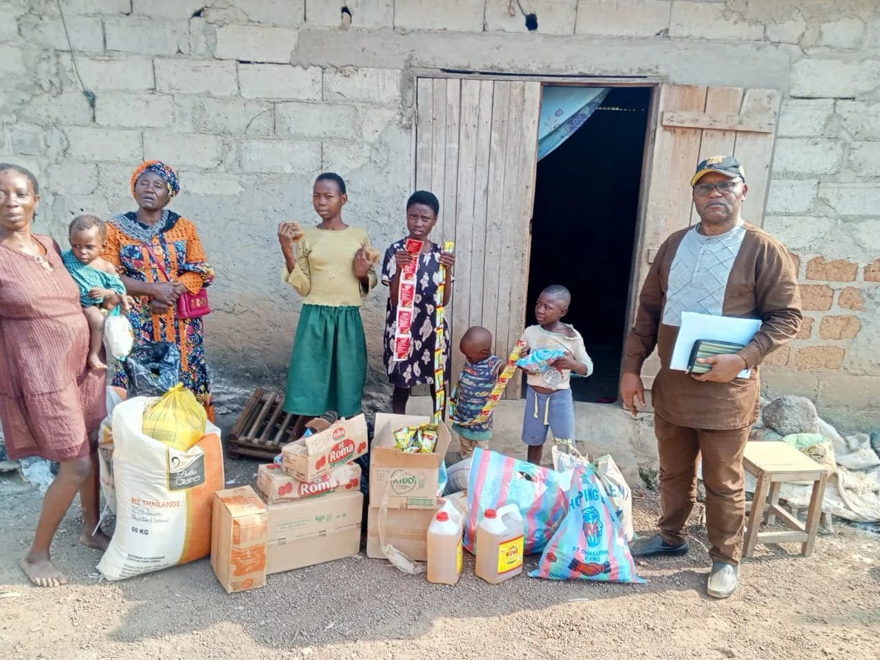
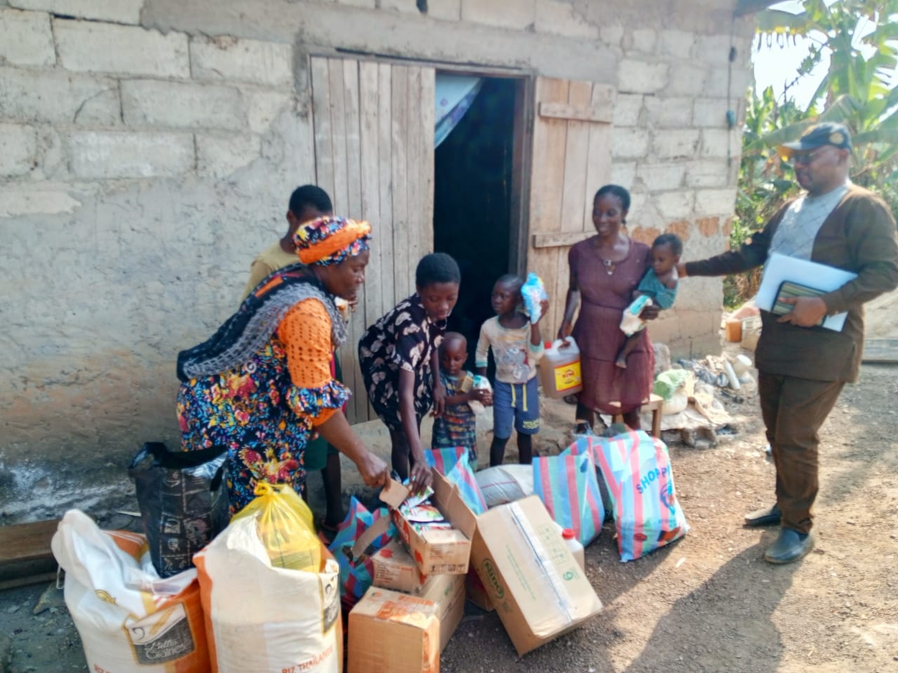
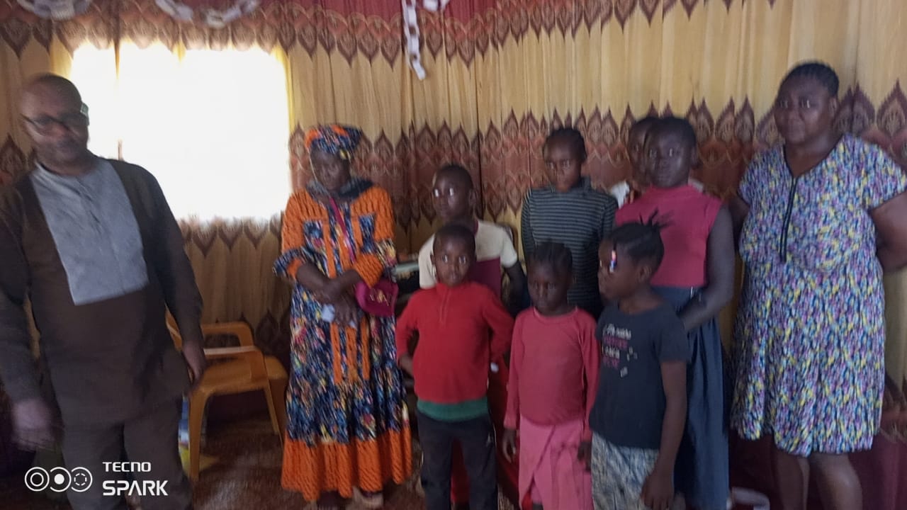
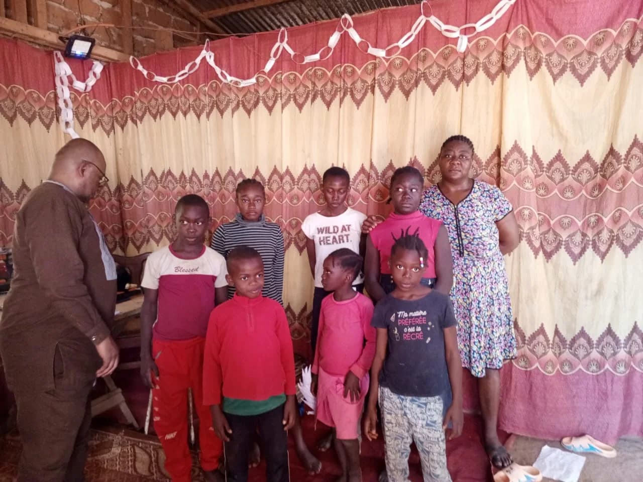
Bertoua is an intervention area of the partner association: families there have already been accompanied. It is not an establishment of the Belgian foundation, which holds no premises there.

Bertoua, capital of the East Region, helps extend support beyond Yaoundé — closer to families the association has already met on the ground.

The status is intentional: an intervention area, with no office or establishment of the foundation. Related news and events are documented here.

Intervention area of the AWAKEN DESTINY partner association in Bertoua (East Cameroon): missions already carried out with families. Regional news and events.
Field presence

Getting to know Bertoua and the East

Bertoua is the capital of the East Region and of the Lom-et-Djérem department — gateway to a vast forest territory bordering CAR and Congo, about 350 km from Yaoundé.

  1. 01

    Gateway to the forest East

    The city combines an administrative and commercial role with a rural hinterland: farming, forest, transit trade. The working-age population is young, often in the informal sector; education and health supply remain constrained. For humanitarian work, this is a very different setting from the capital: less dense, more exposed to regional poverty gaps, and historically shaped by migration and flows to/from neighbouring countries (including CAR).
  2. 02

    Poverty above the national average

    INS (ECAM5) ranks the East among regions where poverty exceeds the national average (37.7%). Older series (ECAM4 / World Bank) showed improvement between 2001 and 2014 (East at 30.0% in 2014) — not directly comparable to ECAM5, but the contrast with Yaoundé (10.8%) remains clear.

Key facts

Department
Lom-et-DjéremHeadquarters · East Region
Population
≈ 281,0002018 estimate · city
Density
≈ 2,800people/km² · far less dense than Yaoundé
Area
≈ 100 km²Estimated urban footprint
Elevation
717 mSouthern plateau · 400–900 m nearby
Distance to Yaoundé
≈ 350 kmNational road N1

Poverty & humanitarian context

National average
37.7%Monetary incidence · ECAM5 2022
Regional position
Abovethe national average · ECAM5
Rural areas (country)
56.3%The East is more rural than Yaoundé
East · 2014 series*
30.0%*ECAM4 / WB — not comparable to ECAM5
Rainfall
1.5–2 mmm/year · marked dry / rainy seasons
Border context
CAR / CongoTransit, migration, vulnerabilities

Landmarks: Lom-et-Djérem department, elevation 717 m, urban area ~100 km², distance ~350 km (public / encyclopedic sources). 2018 population estimate; BUCREP 2005 census was lower. Poverty: ECAM5 regional notes (INS) and historical ECAM4 / World Bank series. See the Cameroon & ECAM5 dossier

Locate Bertoua

Satellite view of the East Region capital — to place this intervention area, about 350 km from Yaoundé.

Satellite tiles © Esri and contributors. Interactive map for orientation only.

Support Bertoua

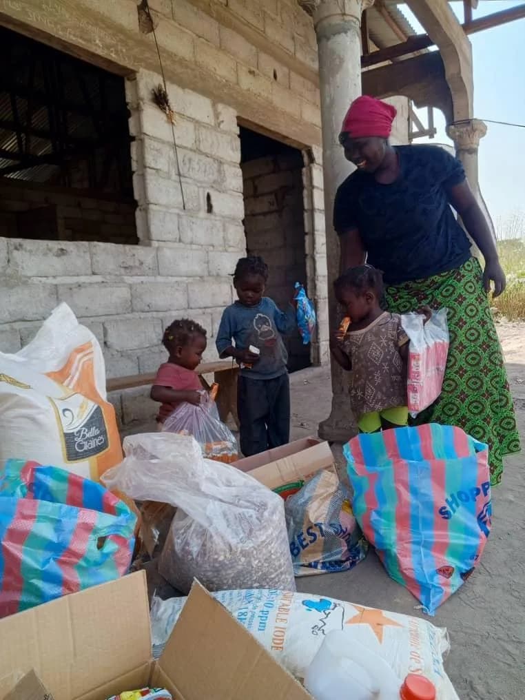
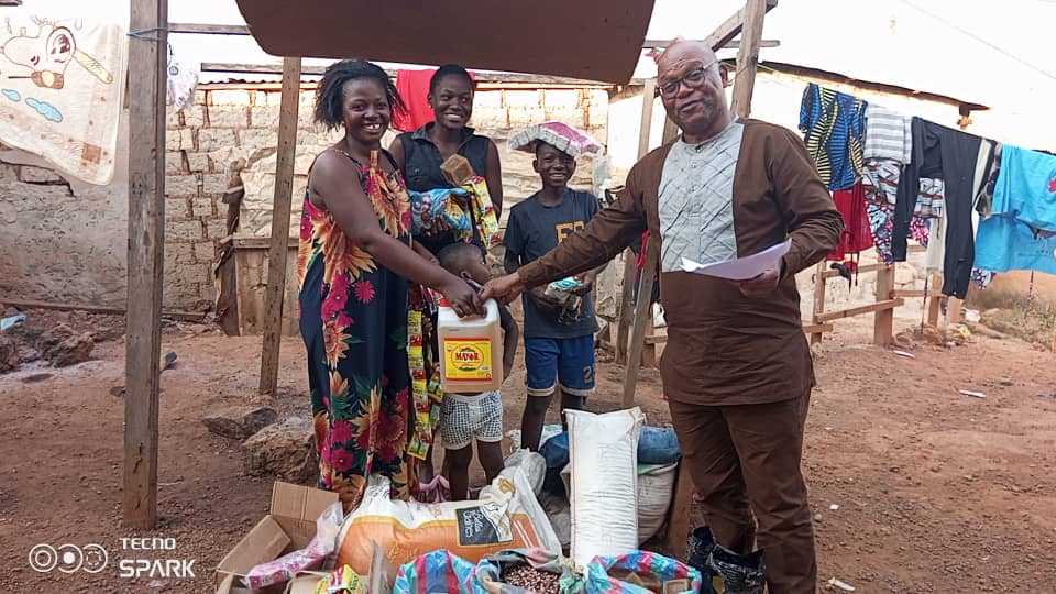
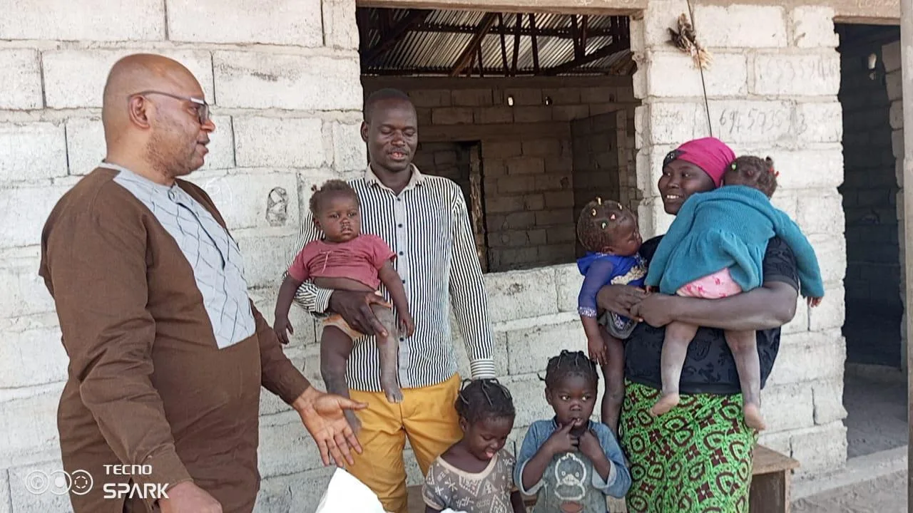
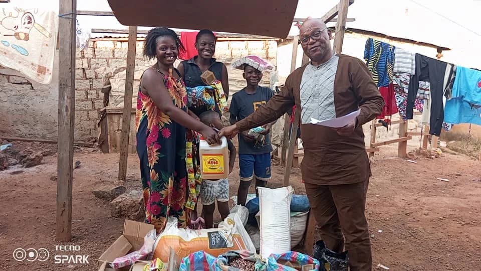
For now, our work in Bertoua focuses on food aid — a first-necessity safety net for families we have already met on the ground. Other programmes will follow with a local office.

  • 01

    Food aid

    Meals, parcels and emergency relief in the Bertoua area — concrete, on the ground, with follow-up.

    Support food aid
Donate